News

News about geo.admin.ch activities

18 September 2026

Aviation in the Geoportal: Identifying Obstacles and Planning Flights Safely

Anyone operating as a pilot in Swiss airspace relies during flight planning and execution on daily updated information, in order to avoid collisions with infrastructure. Recently, the aviation obstacles dataset received an important update.

8 September 2026

Exploring geoinformation through crafts: The “Flip Image” idea on schoolmaps.ch

Geoinformation forms the basis for many binding decisions in administration, business, and society. However, geographical data is by no means just a topic for adults: through playful approaches and educational tools, even the youngest minds can explore complex scientific topics. A creative idea suitable for all age groups is now available on the educational portal schoolmaps.ch.

27 August 2026

New structure of the swissGEOCOVER2D datasets on map.geo.admin.ch

The structure of the swissGEOCOVER2D datasets on map.geo.admin.ch has been improved to enhance the digital experience (e.g. when used in combination with other data)

22 May 2026

Service and incident status website for the Federal Geodata Infrastructure

The service and incident status for the web services and map viewer of the Federal Geoportal is now available exclusively on docs.geo.admin.ch. The previous website status.geo.admin.ch has therefore been disabled.

18 May 2026

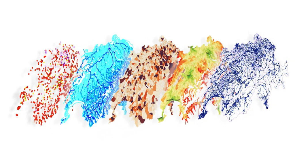
Understanding Switzerland – Over 1,000 maps and datasets at your fingertips

As of May 2026, the Federal Geoportal offers users access to over 1,000 datasets covering everything from infrastructure and noise pollution to natural hazards and traffic. These data serves as a vital resource for public authorities, researchers, and businesses, providing the foundation for spatial planning, deep-dive analytics, and strategic decision-making.


24 February 2026

The Federal Geoportal in 2025: Geodata became part of everyday digital infrastructure

Over the past years, the federal geoportal has evolved into a key digital infrastructure for geospatial data. The year 2025 clearly shows that the importance of data use by external applications will continue to grow in the coming years.