
Aviation in the Geoportal: Identifying Obstacles and Planning Flights Safely
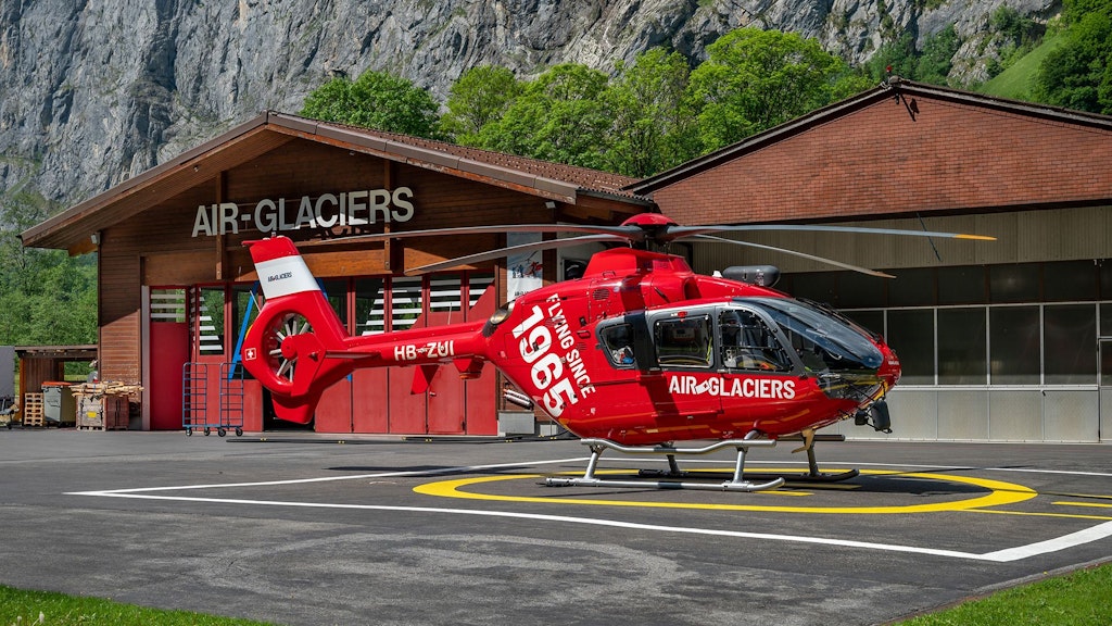
Anyone operating as a pilot in Swiss airspace relies during flight planning and execution on daily updated information, in order to avoid collisions with infrastructure. Facilities that may pose a hazard to aircraft due to their location or height are systematically recorded and published via the Swiss federal geoportal.
Recently, the aviation obstacles dataset received an important update.
Aviation obstacles map now more detailed
Facilities that pose a hazard to aircraft due to their location or height are displayed on the air navigation obstacles map. These include, for example, buildings, antennas, cranes, cableways, wind turbines, high-voltage power lines, or tall vegetation such as trees.
Both permanent and temporary objects require mandatory registration and publication based on strict height thresholds. In built-up areas, the limit is 60 meters or more and in non-built-up areas, it drops to 25 meters or more (mobile cranes must be registered if they reach 40 meters or more).
Since July 2026, the dataset has been displayed with even greater detail. For high-voltage power lines, it now records individual pylons and single line segments with specific height data.
Complementing to this, the aerodrome obstacles layer dispays safety-relevant objects in the immediate vicinity of airfields. It includes structures that penetrate a safety zone or an obstacle limitation surface, even if they fall below the regular legal height limits.
Finally, the latest obstacle changes layer tracks short-term modifications. Updated daily, it displays all new, modified, or deleted objects from the last 56 days.
Where am I allowed to fly a drone?
The geoportal provides an indispensable foundation also for unmanned aviation, which helps to ensure compliance with legal requirements. For a safe flight, simply knowing potential obstacles is not enough. Depending on the location, the airspace may also be restricted for other reasons. The restrictions for drones definitively indicate the geographical areas in Switzerland where flying an unmanned aircraft system is prohibited. These include, for example, areas around airfields as well as other defined restriction areas designed to reduce environmental impact and hazards to people and property on the ground.
Drone pilots are required to inform themselves about the applicable geographical flight restrictions before every flight.
The UAS awarness zones (Unmanned Aircraft System Awareness Map) display areas with officially authorized drone flights. This applies to the specific category operating beyond visual line of sight (BVLOS).The primary purpose of this daily updated overview is to increase the situational awareness of manned aviation. By providing relevant contact information, it makes planned BVLOS drone flights highly visible and easy to identify.
Furthermore, protected areas are also relevant for flight planning. They serve to protect wildlife and particularly sensitive habitats. Flying over or landing, as well as picking up or dropping off items or people, is fundamentally prohibited. This strict rule applies to national parks, raised bogs and fens, waterbird and migratory bird reserves, alluvial zones, federal game reserves, and mire landscapes.
Therefore, a geographical flight restriction can be connected not only to aviation safety but also to the protection of nature and the environment.
In addition to aviation obstacles and drone restrictions, the geoportal offers further data for planning and orientation in Swiss airspace. This primarily includes the ICAO aeronautical chart, the gliding chart, as well as aerodromes and heliports, mountain landing sites, and hospital landing sites.
Depending on the specific requirements, these datasets can be combined with one another. To facilitate the search for all aviation-relevant maps, the corresponding layers have been grouped under the “Aviation” topic within the federal geoportal and the swisstopo app.