

Exploring geoinformation through crafts: The “Flip Image” idea on schoolmaps.ch
Geoinformation has become an integral part of our daily lives, even if we are not always consciously aware of it in our professional or personal routines. It forms the basis for many binding decisions in administration, business, and society.
However, geographical data is by no means just a topic for adults: through playful approaches and educational tools, even the youngest minds can explore complex scientific topics. A new creative idea is now available on the schoolmaps.ch portal. It not only serves as a practical lesson plan for teachers but is also ideal for a shared activity with children at home.
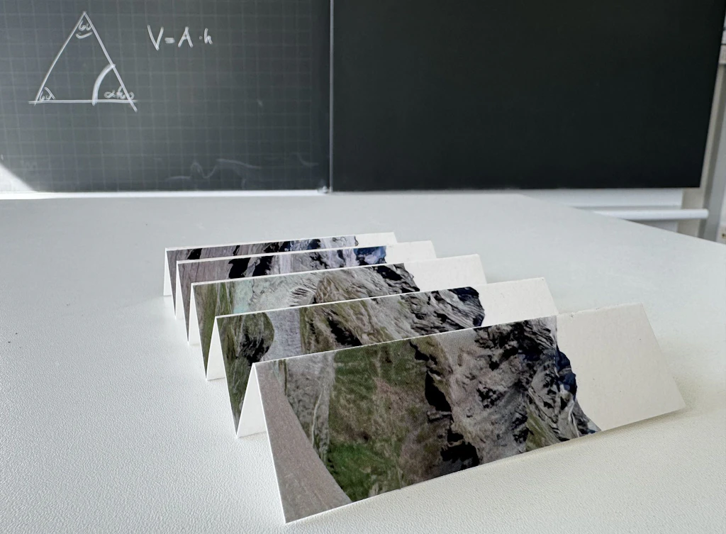
Let's build a flip image!
A flip image is a simple yet fascinating craft idea. By changing the viewing angle, two different map views can be compared directly. Changes in a specific area become visible in the blink of an eye, sparking exciting questions:
- Was my hometown really covered by a massive sheet of ice during the Ice Age?
- What did the place where my house stands today look like when my grandparents were children?
- What does my neighborhood look like on a map, and what does it look like when looking out of a real airplane window?
Using simple materials like cardboard, craft sticks and glue, children can create an engaging science project that combines geographic learning with an activity they love: hands-on creativity.
Connecting learning with real-world issues
Schoolchildren can address current social and environmental topics that are also firmly anchored in the Swiss teaching plans:
- How has a glacier changed over the past 100 years?
- How much has the settlement area of an urban agglomeration municipality expanded in 50 years?
- Which areas were submerged during the last flood event?
This craft project provides an ideal introduction to core topics such as spatial planning, urban development, climate change, and natural hazard risk assessment. At the same time, the task actively promotes skills in using the map viewer map.geo.admin.ch. Students learn in a practical way how to use the “journey through time” feature, search for thematic maps (datasets), compare two maps, and print a selected area.
Alignment with Swiss Teaching Plans
The new lesson is aligned with Lehrplan 21 for German-speaking students, Plan d’études romand for the Romandy and Piano di studio della scuola dell’obbligo for the canton of Ticino.
The activity is suitable for Cycle1, 2 and Cycle 3.
Fostering digital map and geodata knowledge
sCHoolmaps.ch is a joint project developed by the Coordinating agency for Federal geographical information (GCG), in collaboration with educational institutions and partners. Its aim is to promote cross-disciplinary knowledge of maps and geodata among students by enabling them to explore the Federal Geoportal through learning content.
More information on a school content:
- Link to the lesson (in German):Wir basteln ein Wackelbild! – sCHoolmaps
- Offers for teaching and research