
Teaching and Research
The map viewer map.geo.admin.ch is ideal for use in teaching and research. The tool teaches students how to use Swiss maps and the related geospatial information. This type of location-based and spatial data is highly relevant in many areas of life. In this context, the sCHoolmaps.ch platform was created, which is supported by the federal government and the cantons in collaboration with various partners to promote the use of digital maps and geodata in the classroom.
Offers for teaching and research
sCHoolmaps.ch
sCHoolmaps provides teaching modules and resources for the use of official maps and geodata in schools. The aim is to promote the use of digital maps in schools.
.jpg?auto=format)
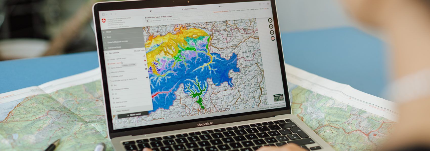
Map topic "For schools"
Would you like to track down the ibex colonies in Switzerland with your school class, for example, or bring up the origin of a type of cheese? With a click on maps.schoolmaps.ch, (almost) anything is possible.