

Where are the obstacles located in Swiss airspace? (FOCA)
Facilities that pose a hazard to aircraft due to their location or height are displayed on the air navigation obstacles map. These include, for example, buildings, antennas, cranes, cableways, wind turbines, high-voltage power lines, or tall vegetation such as trees.
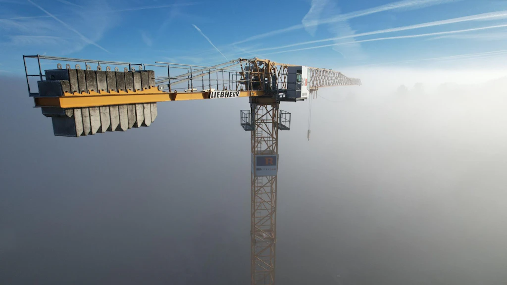
Both permanent and temporary objects require mandatory registration and publication based on strict height thresholds. In built-up areas, the limit is 60 meters or more and outside built-up areas, it drops to 25 meters or more (mobile cranes must be registered if they reach 40 meters or more).
Since July 2026, the dataset has been displayed with even greater detail. For high-voltage power lines, it now records individual pylons and single line segments with specific height data.
For further informations: Aviation in the Geoportal: Identifying Obstacles and Planning Flights Safely
Link to the map: map.geo.admin.ch