
The map viewer receives an update
The federal map viewer map.geo.admin.ch has made it possible to view, print and obtain federal geodata in collaboration with the cantons for more than 10 years.
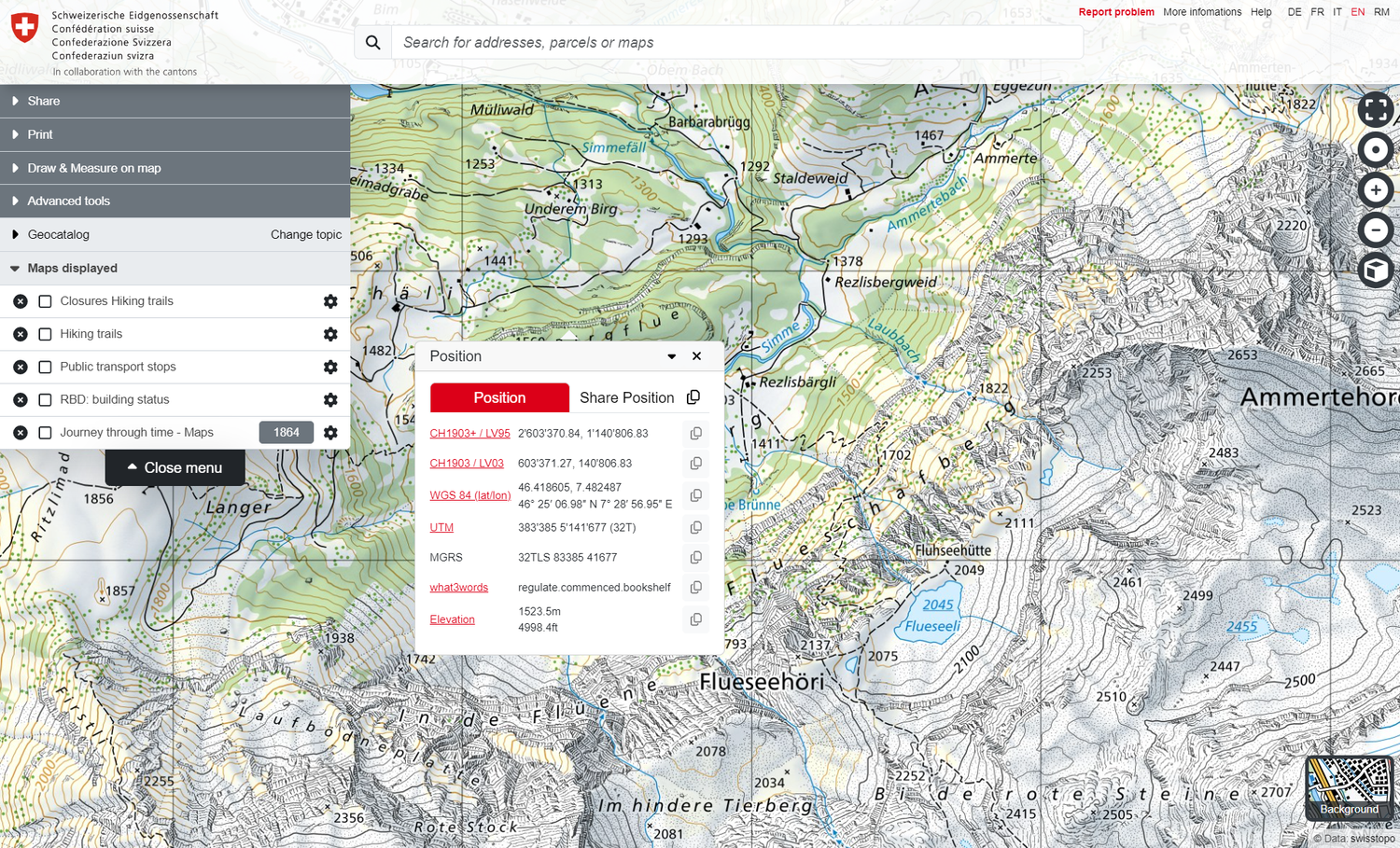
swisstopo today completely modernised the map viewer map.geo.admin.ch, thereby supporting the implementation of the Swiss Geoinformation Strategy.
For the users, swisstopo has revised tried-and-tested functions such as importing external content, the 3D view, printing and the position display. In addition, the performance and security of the map viewer have been further improved. The extensive range of geodata from the Federal Spatial Data Infrastructure (FSDI), which is provided by the Federal Administration, can be used in the new map viewer in the usual high quality.
Based on this revision, the map viewer will be able to offer new functions and content in future, such as the Light Base Map background map, in order to cover an even broader spectrum of needs and better serve more customers.
The updated help pages at help.geo.admin.ch are available for questions relating to the use of the map viewer. Suggestions or queries can be sent to info@geo.admin.ch.
Coordination, Geo-Information and Services (COGIS)
Seftigenstrasse 264
Switzerland - 3084 Wabern