
How my city looked 100 years ago? (swisstopo)
The swisstopo map collection is a unique cultural treasure comprising all first editions and revised versions of the official «Dufour Map», the «Siegfried Map» and the series of national maps.
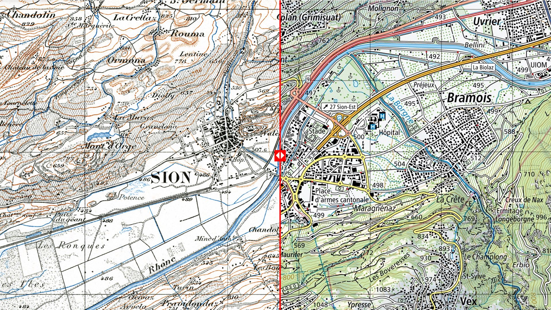
Since its foundation in 1838 by Guillaume-Henri Dufour, swisstopo has produced three official national map series, the topographical map of Switzerland 1:100’000 (Dufour Map), the topographical atlas 1:25’000 / 1:50’000 (Siegfried Map) and the Swiss National Maps in different scales. The collection of these products constitutes a cultural asset of national significance which qualifies as a kind of «topographical landscape memory of Switzerland». The «journey through time» allows to interactively explore the evolution of the landscape.
Link to the map: map.geo.admin.ch