
Snow sports: safely and with respect (swisstopo, FOEN)
The snowsports map on map.geo.admin.ch contains not only the ski and snowshoe routes of swisstopo and the Swiss Alpine Club SAC, but also information on the quiet zones and fauna protection sites of the FOEN, as well as slopes >30°.
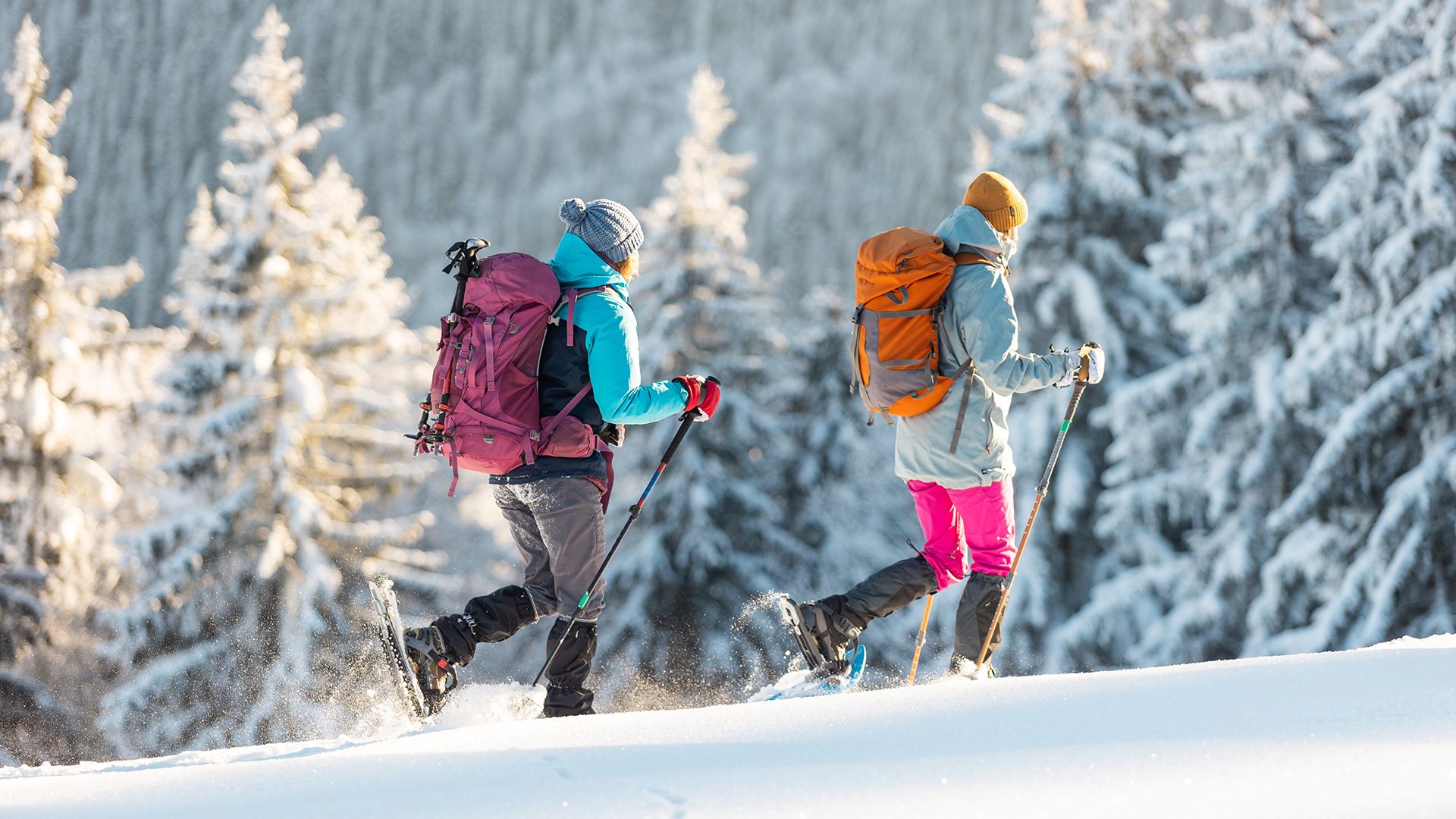
- Ski routes: The digital ski routes contain specific information for snow sports in Switzerland and adjacent parts of its neighbouring countries. The data set is produced in collaboration with the Swiss Alpine Club SAC.
- Snowshoe routes: The digital snowshoe routes contain specific information for snow sports in Switzerland and adjacent parts of its neighbouring countries. The data set is produced in collaboration with the Swiss Alpine Club SAC.
- Snowshoe trekking: The «snowshoe trekking» dataset comprises SwitzerlandMobility's best-of selection from the sign-posted snowshoe trekking trails of Switzerland and the Principality of Liechtenstein.
- Slope over 30°: Derivate representation of the digital terrain model swissALTI3D and models from France, Italy, Austria and Germany, which allows for the identification of inclinations over 30°.
- Designated wildlife areas: Wildlife requires areas of refuge in which it will not be disturbed. In accordance with Article 7 Paragraph 4 of the Swiss Hunting Act (HuntA), designated wildlife areas are designed to prevent excessive interference due the increase in recreational activities.
- Wildlife reserves: Wildlife reserves are created to protect selected mammals and birds and their habitats. The 43 federal wildlife reserves listed here are based on Art. 11 of the Swiss Hunting Act. Winter sports may only be practised on marked routes.
Link to the map: map.geo.admin.ch